
North America
Public data on soils and land prices, in a mature market.
Overview
In the United States and Canada, farmland is well documented. Official soil surveys describe properties in detail, and public statistics track land values year after year. Production ranges from large-scale grains in the Corn Belt and the Great Plains—the United States is the world’s largest producer and exporter of corn—to California’s permanent crops and the field crops of the Canadian Prairies.
That maturity comes at a price: in well-informed markets, land quality is already priced in. What sets an investment apart is discipline at entry, the quality of the operation and, in the West, water security, now the first question in any analysis.
Production systems
How the land produces.
The Corn Belt: corn and soybeans
Across the Midwest—Iowa, Illinois, Indiana, Ohio, Minnesota and neighboring states—fertile soils, many of them dark and formed under the prairie, support the corn–soybean rotation. Demand comes from livestock feed, ethanol and exports, which move down the Mississippi by barge to the Gulf ports.
Great Plains wheat
From northern Texas to Montana, hard red winter wheat is sown in the fall and harvested in summer; farther north, in the Dakotas, Minnesota and Montana, high-protein spring wheat dominates. Where the region is irrigated, much of the water comes from the High Plains (Ogallala) aquifer, whose levels have fallen sharply in many areas since irrigation expanded around 1950.
California: permanent crops
California grows most of the almonds, pistachios and walnuts produced in the United States, and its Central Valley ranks among the most productive farming regions in the world—agriculture that depends on irrigation. Since 2014, the state’s Sustainable Groundwater Management Act (SGMA) has required priority basins to bring pumping and recharge into balance: by 2040 in critically overdrafted basins and by 2042 in the rest. Available water now bears directly on what each property can grow.
The Canadian Prairies
Saskatchewan, Alberta and Manitoba account for most of Canada’s cropland, with canola, spring wheat and pulses such as lentils and peas. The country is one of the world’s leading producers and exporters of pulses.
What we look for
The five tests, under local rules.
Soil
In the United States, the USDA soil survey allows properties to be compared in detail; in Canada, the Canada Land Inventory rates agricultural land capability at a regional scale. We look for deep, well-drained soils with a verifiable history of conservation management.
Climate and water
In the Midwest and on the Prairies, reliable rainfall and exposure to drought, frost and hail. In the West, firm water rights, aquifer conditions and, in California, the basin’s status under SGMA—before any other variable.
Logistics and market access
Proximity to elevators, processors, ethanol plants and barge or rail terminals; on the Prairies, rail access to export ports.
Secure title
Clean, recorded title and compliance with foreign-investment rules: in the United States, mandatory disclosure to the USDA and the restrictions several states have adopted; in Canada, provincial limits on farmland purchases by people who are neither citizens nor permanent residents, such as those in Saskatchewan and Manitoba.
Operating partners
Tenants and operators with a proven record, clear leases—fixed cash, flexible cash or crop share—and a commitment to conservation practices.
Risks
What could go wrong.
- Entry price
- In mature, competitive markets, good land is rarely cheap, and rental income tends to be modest relative to asset value. Overpaying is the hardest mistake to undo in a long-term investment—which is why price discipline at entry matters more than at any other stage.
- Water in the West
- In California and the irrigated Great Plains, water scarcity is structural: SGMA requires priority basins to balance pumping and recharge, and levels in the Ogallala aquifer have dropped sharply in many areas. A property without secure water can lose irrigated acreage, and value with it.
- Trade policy and access rules
- Tariffs and retaliation have already redrawn export flows: China’s retaliatory tariffs in 2018 and 2019 hit U.S. soybeans hardest, and in 2025, after a new round of retaliatory tariffs, China went months without buying U.S. soybeans. At the same time, several U.S. states and Canadian provinces restrict farmland purchases by foreign buyers, and the rules keep changing. Each investment has to be structured with this in mind from day one.
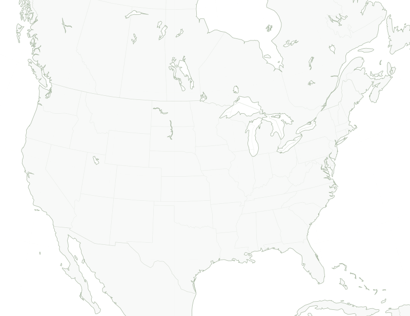
On the map
The major farming areas.
Key
- 1Iowa
- 2Kansas
- 3California’s Central Valley
- 4Saskatchewan
The markers are illustrative: they show well-known major farming areas in the region. They do not represent assets, farms or partners of Frontier Asset Partners. Base map: Natural Earth (public domain).
Other regions
Explore the other two continents.
South America
From the Cerrado to the Pampas, two crops in a single season.
Australia
Harvesting as the northern hemisphere heads into winter.